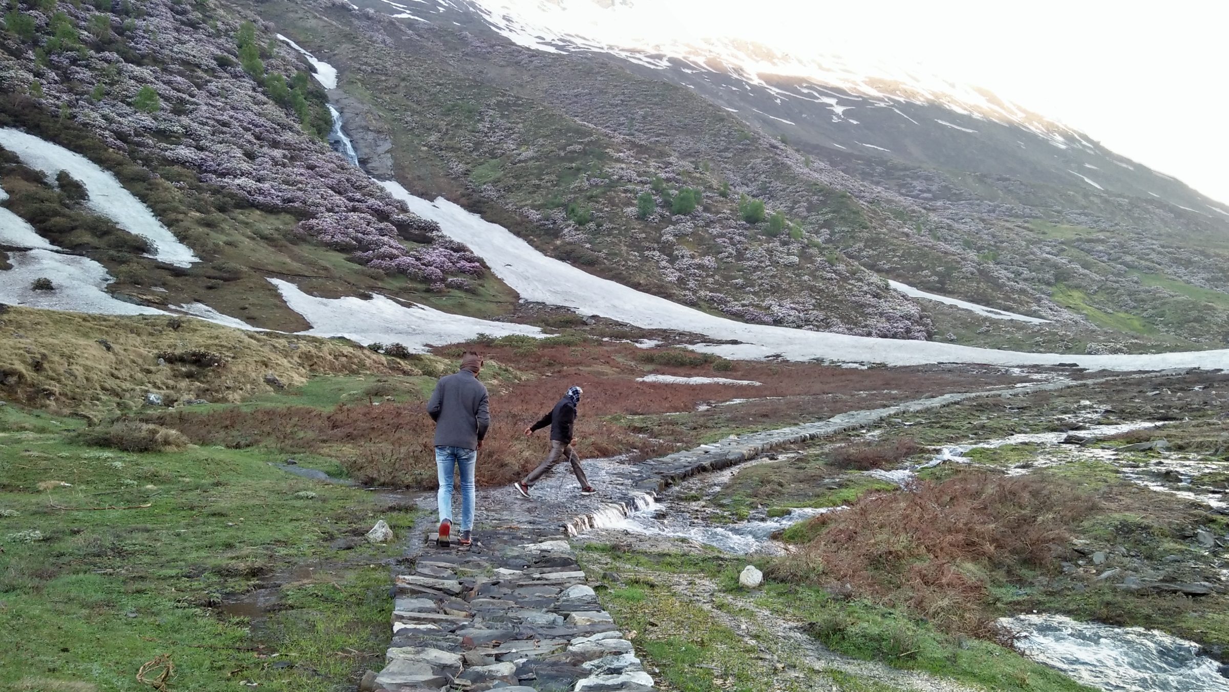
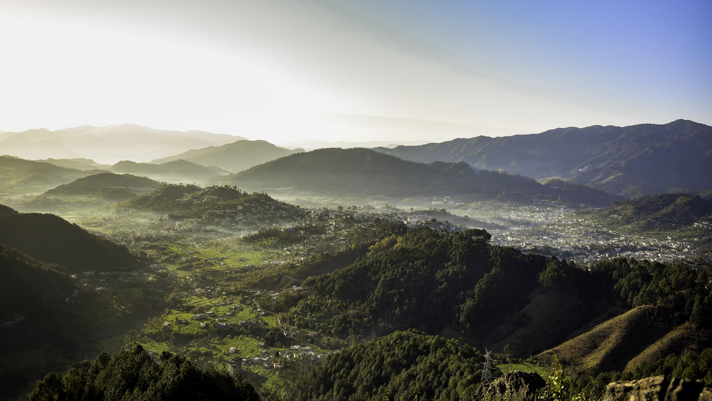
The Dhauliganga rises under the glaciers south of the Sin La and runs down to meet the Kali at Tawaghat, above Dharchula. The valley it makes is Darma, and along it sit the villages the Rung — the Shauka people of this corner of Kumaon — have used for as long as anyone records: Dar, Bongling, Sela, Chal, Nagling, Baling, Dugtu, Dantu, Go, Philam, Sipu, Marcha and Tidang. They are summer villages. Families come up with the herds when the snow clears in May and go back down to Dharchula and the lower Dhauliganga in October, and for six months of the year the houses stand shuttered.
That rhythm is what makes the trek worth doing as a traverse rather than as a viewpoint trip. Walking from Sela to Dugtu to Sipu you pass through a working landscape — buckwheat and potato terraces, drying racks, goats being moved between pastures, the stone-and-timber houses of a trading people who until 1962 crossed the passes into Tibet every season and have kept the language, the food and the temples that came with that traffic.
The mountains are the second half of it. Panchachuli closes the valley on the east, and from Dugtu and Dantu the five peaks stand almost directly overhead; the meadows above them run up to the snout of the Sona and Meola glaciers. West and north the ridges lead over the Sin La towards the Kuti valley and the Byas country of the Adi Kailash road — the old connecting route between the two valleys, which we look across at rather than cross.
The road now reaches most of the lower valley and, in a good year, as far as Dugtu. We use it where it helps and walk where it does not, which is what keeps this to a moderate week instead of an expedition. Nights are in village homestays throughout, and the food is what the kitchen cooks.